

Geography
In Shankhill Church of England Primary School, our carefully planned and progressive curriculum is designed with the target of all children becoming geographers who are curious and fascinated about the world and its people by making sure they meet the National Curriculum expectations, to develop:
- Place knowledge
- Locational knowledge
- Understanding of human and physical geography
- Geographical skills and fieldwork
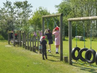
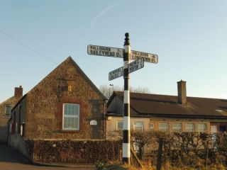
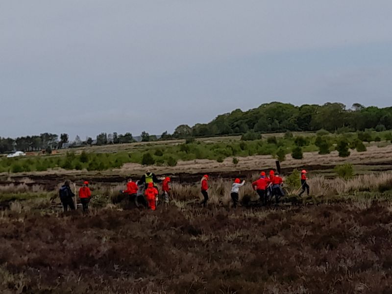
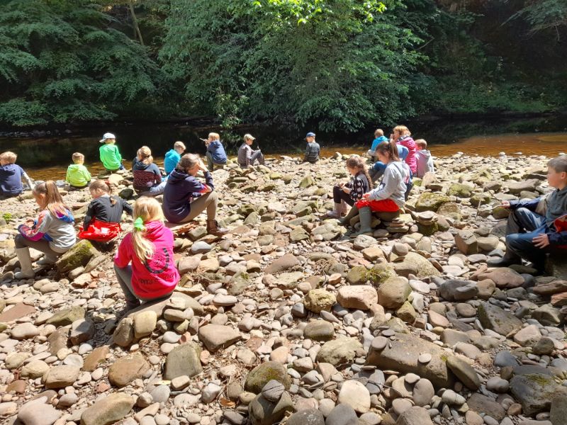
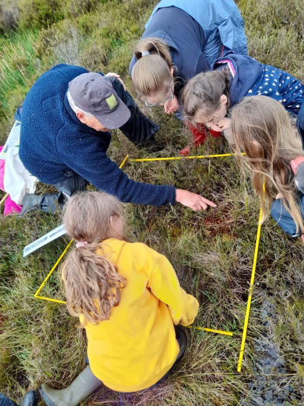
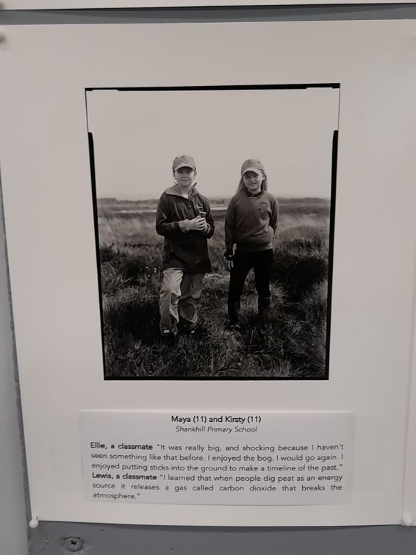
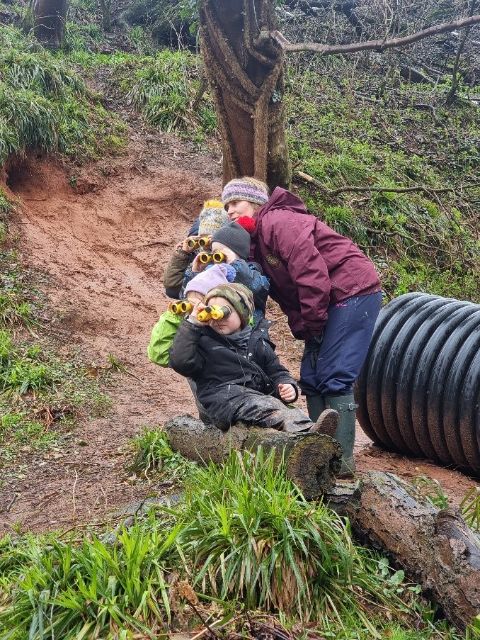
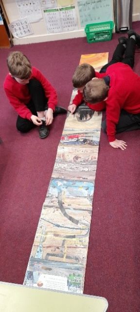
We believe that making local links is vital as we want children to understand how the past has shaped the place in which they live with visits to places, such as: Hadrian’s Wall, Bolton Fell Moss, the river Lyne and learning forest (which we visit termly); as well as national experiences, like our London residential. During our visit to Bolton Fell Moss, we were part of a project with natural England. The children worked closely with professors and PHD students from the University of Cumbria to discuss climate change and the impact a peat bog can have on storing carbon dioxide.
As pupils progress, their growing knowledge about the world will help them to deepen their understanding of the interaction between physical and human processes, and of the formation and use of landscapes and environments. Geographical knowledge, understanding and skills provide the frameworks and approaches that explain how the Earth’s features at different scales are shaped, interconnected and change over time.
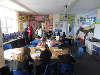
At Shankhill Church of England Primary School, our curriculum teaches the entire EYFS Framework through Development Matters 2021 and we have adopted the CUSP geography curriculum from Year 1 to Year 6, which ensures the National Curriculum 2014 is fully covered and is based on current evidence-led practice for pedagogy and learning. Children are taught to develop vocabulary, knowledge and skills in geography as they progress through the school. As with every area of our curriculum, vocabulary is a vital and fundamental element, as is the regular revisiting and retrieval of knowledge and skills to make sure they are embedded.
In Early years
Pupils look at understanding the world around them, focusing on the natural world and people, culture and community. In class, staff provide children with a range of visits, visitors and experiences. The staff set up geographical provocations for the children to explore and develop their learning through play. As well as being read a range of stories, non-fiction, songs and poems to develop their understanding of our culturally, socially, technologically and ecologically diverse world, which also develops their knowledge and vocabulary for future learning.
In Key Stage 1
Teaching helps young children to develop a sense of place, scale and an understanding of human and physical geographical features. Children learn about the purpose and use of sketch maps as well as the key features they need to include. The children study the orientation of the world through acquiring and making locational sense of the seven continents and five oceans of the world. They extend their knowledge and study the countries and capital cities of the United Kingdom, along with the oceans and seas that surround us. Pupils study the human and physical features of a non-European location in Africa - Kenya. Fieldwork and map skills are further developed with a study of the local area, using cardinal points of a compass. Simple keys and features are identified and mapped locally to help. Pupils retrieve and apply knowledge about human and physical features in their local context. OS maps are introduced too.
In Key stage 2
Teaching includes fieldwork and map skills with intercardinal points of a compass points being introduced. There is a study of the UK, focusing on regions, counties, landmarks and topography. Pupils elaborate and expand their understanding of human and physical features and apply it in their study of rivers. To enable accurate location of places around the globe, pupils’ study absolute positioning or reference systems through latitude and longitude. Complementing studies on location and position is the focus on the water cycle. Cultural awareness and diversity are taught specifically within learning modules. Examples include; European studies, as well as studies of countries and people in Africa, and North and South America. A deliberately planned study focusing on the environmental regions of Europe, Russia, and North and South America draws attention to climate regions. The study of Biomes and Environmental regions builds upon world locations, latitude and longitude studies. World countries and major cities are located, identified and remembered. The study of four and six figure grid references supports prior learning of reference systems and brings an increased accuracy to mapping and fieldwork skills.
 Geography EYFS to KS1